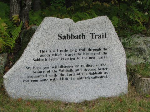
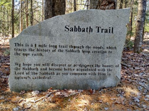
Welcome to the new Virtual Tour of the Sabbath Trail.
Each page will feature one of the sites along the Trail, and a few side looks at other beautiful features.
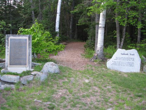
The Trail begins at the parking area or you can go to the church yard and start between the signs.
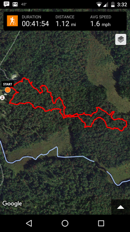
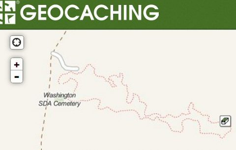
Using a tracker, the Sabbath Trail was mapped out, so you can see it from the air!
Sites 1 through 9 are found on the upper section, starting at the orange dot, until it meets the lower trail. That is the location of the Bridge. The Trail continues out and around to sites 10 through 23; comes back to the Bridge, and goes along the lower section to sites 24 through 30, ending out behind the cemetery. The Trail then takes you back around to the parking area. The full Trail is one mile long.
For the Geocaching Community, there is a cache hidden on the Sabbath Trail! Click on the link, Monumental Discovery to read a description of the site. (16)